New 32 · Performance 2 · UX 19 · UI 6 · Fix 36 · Total 95
Align1
NewAlign moves, turns and resizes things so that points on them land where you say. Pick a layer, a photo, a shape or a whole group of shapes, mark a point on what you are moving, then click the spot it belongs on. Do that twice and everything moves, turns and resizes together to match.
Reach it from the Align button on the Modify card, with Shift+A, from the right-click menu of a shape, a layer or a photo, or from the Align button on the Navigator's shortcut strip.
Two pairs of points land exactly. Place more and the best fit is used, and the message afterwards says how far the worst point missed.
Several layers and photos selected together are aligned as one, keeping their positions relative to each other.
The app says what to do at every step along the top of the map. Backspace takes back the last point. Escape steps back one stage at a time, and Ctrl+Z puts everything back in one go.
Masks stay where they are. A photo's mask keeps hiding the same ground after the photo moves.
While aligning, you can hide what you are moving, turn its opacity down, zoom to an extent, jump to a bookmark, pan and zoom, and every point you have placed is kept. A hidden layer is still moved. A locked one is kept in the alignment and moved once you unlock it.
Right-click menus1
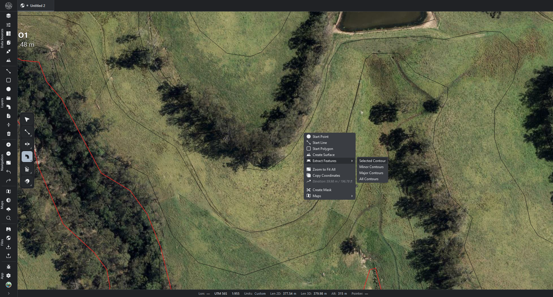
NewLast Action now sits at the top of the map and object right-click menus. It lists the last ten things you did — from those two menus, with any tool, or by adding a modifier anywhere — newest first. Click the Last Action row itself to do the newest one again, or open it and pick any of the ten; either way it acts on what is selected now.
For example, after adding an Offset to some lines through Modifiers, select other lines, right-click and choose Last Action, then Modifier: Offset.
Press Enter, or tap Space with the pointer over the map, to repeat the newest one without opening a menu. This works while the Select tool is active, and while the Point, Line or Polygon tool is active with nothing being drawn, so after drawing a line, Enter starts a new one at the pointer. Holding Space still pans, and Enter still finishes a polygon selection or a shape being drawn.
Both keys can be changed under Settings → Shortcuts, and the Last Action row can be hidden or moved under Settings → Context Menus.
Drawing with the Point, Line or Polygon tool is listed as Start Point, Start Line or Start Polygon, and doing it again starts a new one where the pointer is. Every other tool is listed by its own name and is armed again. A modifier added from anywhere is listed as Modifier and its kind, and is added again to what is selected.
Doing Tool: Offset again with a line or shape selected starts offsetting it straight away, with no click on it first.
A new Last Action section under Settings → Tools sets how the row looks, which clicks and keys repeat it and what the list remembers, and can clear the list.
Bookmarks4
NewSave up to nine places on the map and jump between them with Shift+1 to Shift+9.
Press a key that has no bookmark and the view you are looking at is saved there.
Press a key that has one and you go to it. Press it twice quickly to replace it with the view you are looking at.
Bookmarks are saved inside the project, and each project tab keeps its own set.
The keys can be changed under Settings → Shortcuts, where the nine bookmarks are listed.
NewEvery Zoom to Extent in a right-click menu now holds your bookmarks. Clicking it zooms exactly as before; opening it lists your bookmarks, each with its key, plus Save bookmark.
Click a bookmark to go to it. Open it for Replace with current view and Delete.
The Zoom to Extent button on the navigation toolbar and on the layer list's shortcut strip opens the same list when clicked, with Zoom to Extent at the top.
UXZoom to Fit All, Zoom to everything and Zoom Extents are all called Zoom to Extent now, on the navigation toolbar, the shortcut strip, every right-click menu and the terrain panel.
UXAdd Offset, Slope, Point Array and Fillet modifier and Add Mask move from Shift+1 to Shift+5 to Ctrl+Shift+1 to Ctrl+Shift+5, because Shift+1 to Shift+9 now belong to Bookmarks. A key you changed yourself is unchanged.
Map rotation and compass3
NewTurn the map from the status bar. The new Rotation reading shows how far the map is turned, with a small arrow pointing north. Click it for a slider field: drag to turn the map, or click and type an angle. The button beside the field turns the map back to north.
The mouse wheel over the reading turns the map 15° at a time, or 1° with Shift held.
It works on the flat map and in 3D, and each keeps its own turn: turning the 3D view leaves the flat map as it was, and leaving 3D no longer turns the flat map back to north.
Everything on a turned map turns with it: terrain maps, images and orthophotos, the grid and every drawn shape.
Switching tab, going to a bookmark or opening a project puts back the turn it was saved with.
NewCtrl+R (Face north) turns the view back to north. In 3D it also brings the view up to look straight down, keeping the place and zoom. The key can be changed under Settings → Shortcuts.
NewA compass in the top-right corner of the map. It shows where north is in 3D, and on the flat map while it is turned. It leans with a tilted 3D view, and clicking it turns the view back to north.
Settings → Interface → Compass switches it on or off and sets its Style (Needle, Bezel, Arrow or Letters), its size and opacity, and when it shows.
It moves aside for panels and for the drawing toolbar when they sit in that corner.
Navigator1
UXButtons on the Navigator's shortcut strip can be dragged into a new order. Press a button and slide it along the strip, and the order is kept when you let go.
Right-click the strip and choose Above the search box to move the strip to the top of the Layers tab, between the tabs and the search box. The same switch is under Settings → Navigator Shortcuts.
Align is now on the strip from the start, just left of Zoom to Extent.
Maps26
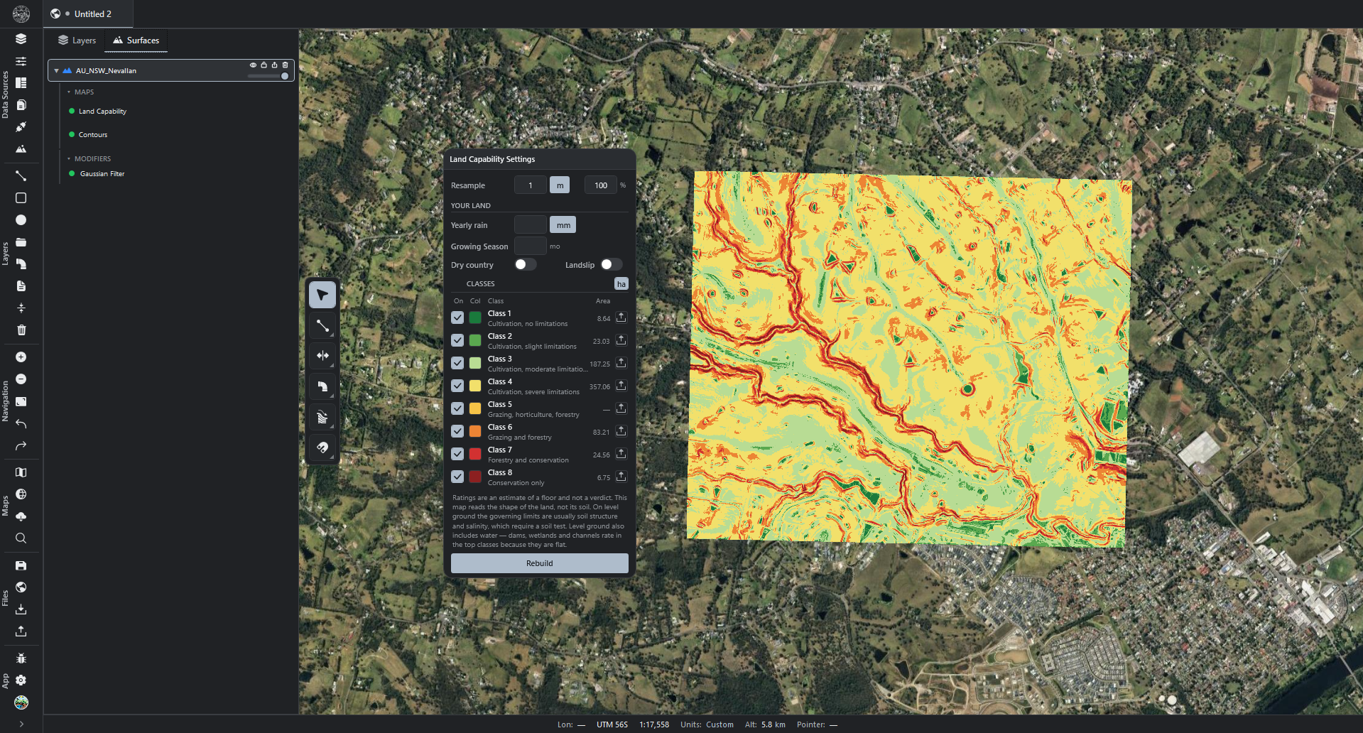
NewSeveral maps of one kind can now be made on the same terrain, for example two Slope maps with different classes, or contours at two intervals.
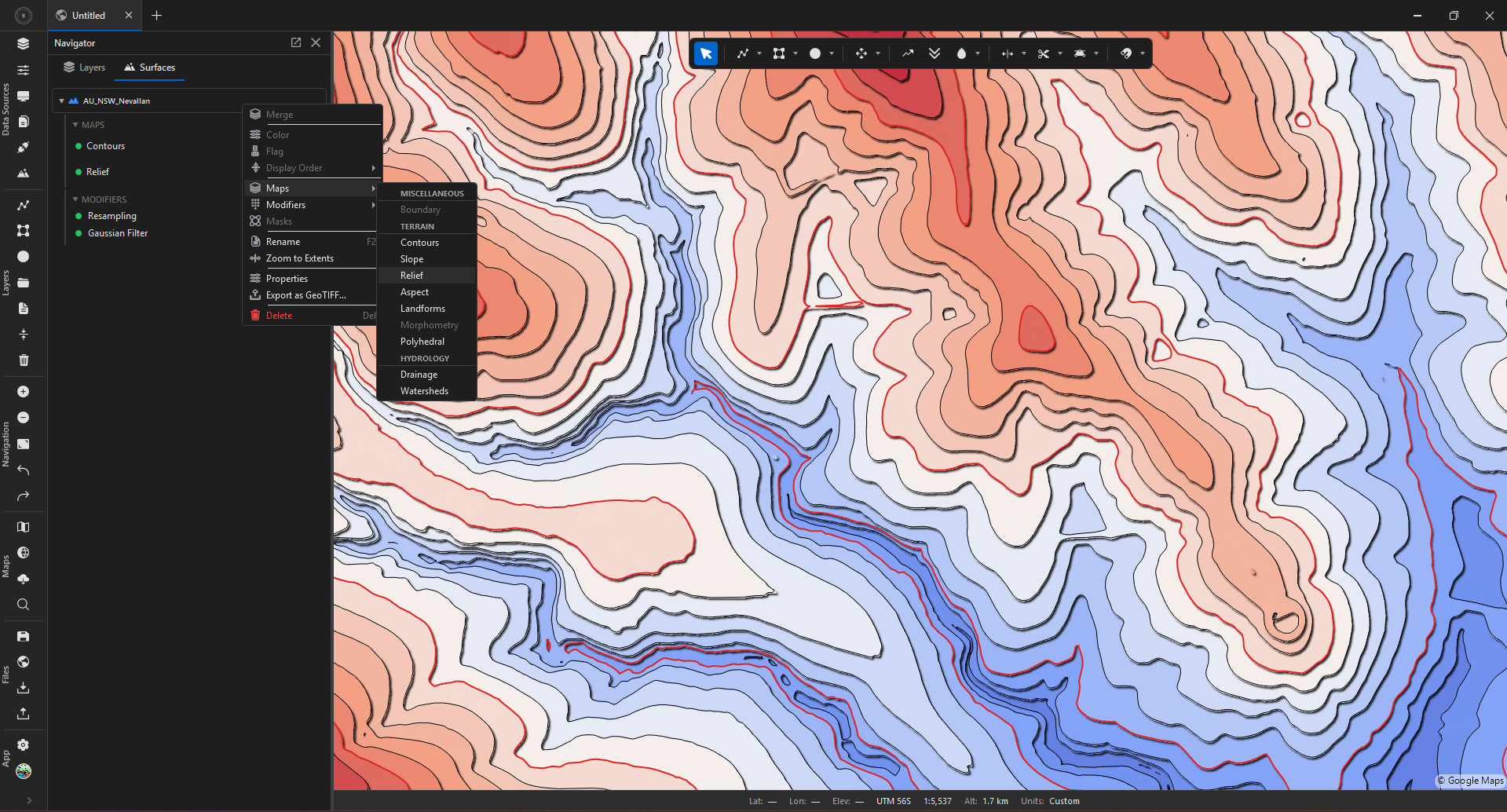
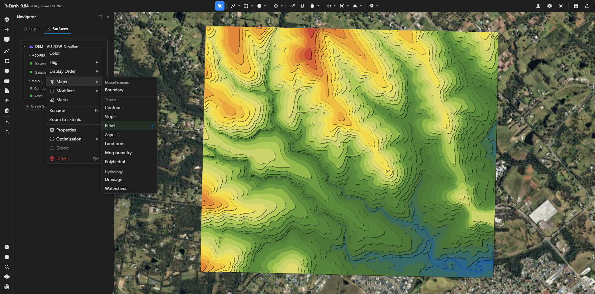
Right-click the terrain and open Maps. Once a kind has a map, its entry lists the existing maps and offers a new one, such as New Slope map.
The same list appears in the map's own right-click menu. Every kind except Watersheds can be made more than once.
Each map has its own settings, visibility, opacity and place in the display order.
NewMaps can be renamed by double-clicking their name, just as layers can. The name is used in the layer list, the Overview table, batch export and Google Earth sync, and exported files carry it.
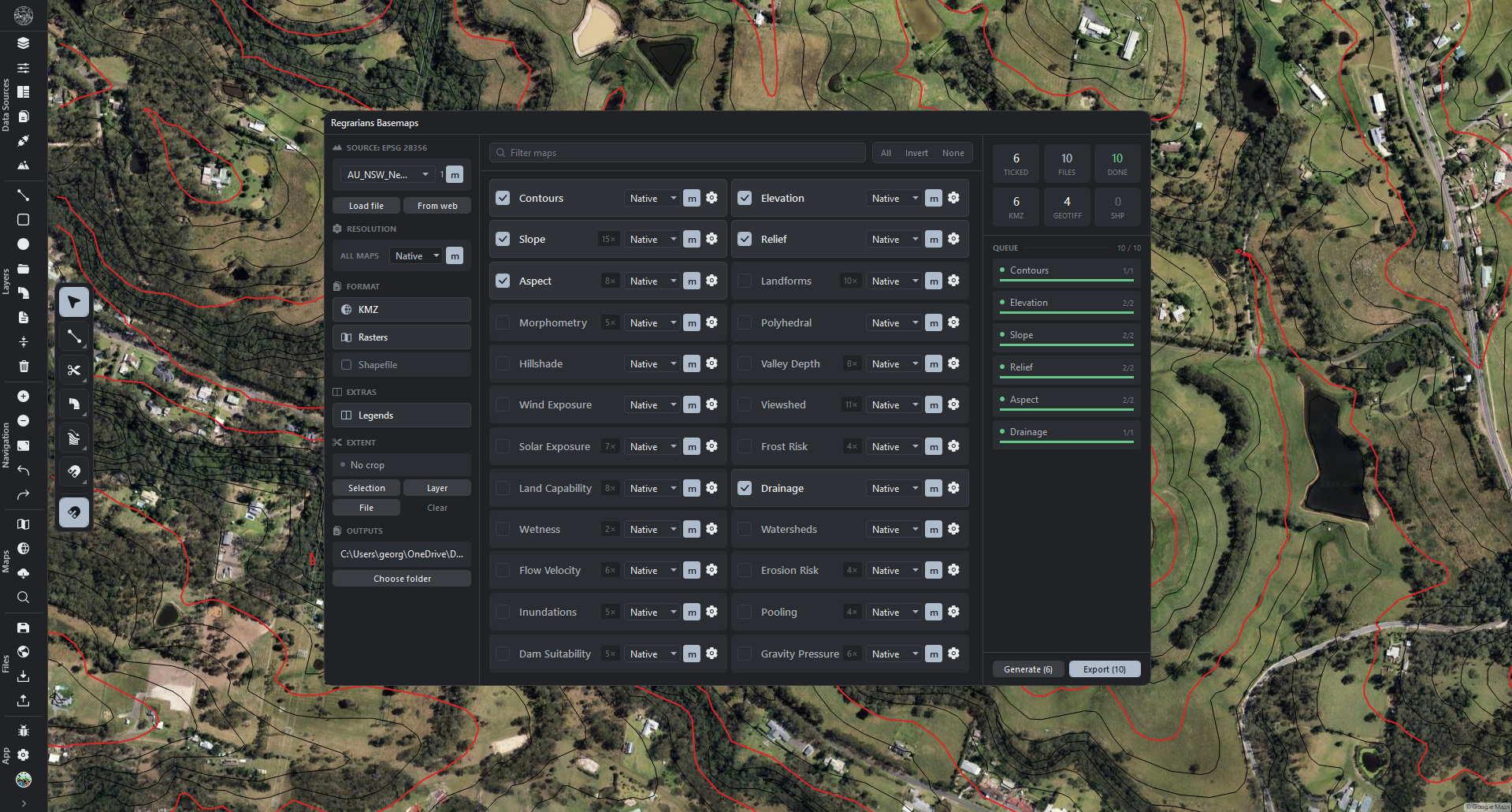
UXMaps made with Generate in Regrarians Basemaps now start switched off. Each map is still made in full and can be switched on from the Surfaces tab.
This can be turned off under Settings → Maps → New base maps start hidden.
UXSwitched-off maps can now be exported. Batch export lists them and Google Earth sync includes them like any other map, although Visible Layers Only still leaves out the maps of a switched-off terrain.
NewEvery coloured terrain map now offers twenty colour themes. Open the map's settings and choose from the Theme row: the map's own Default, Terrain, Atlas, Earth Tones, Greys, Viridis, Cividis, Turbo, Spectral, Green-Red, Blues, Lipari, Glasgow, Hawaii, Berlin, Dry to Wet, Lajolla, Cubehelix, Antique or Natural.
Only the colours change. Class boundaries, labels and switched-off classes stay as they were.
Elevation and Relief use the same themes. A map saved with one of their four retired themes keeps its colours.
The theme cards show four rows at a time and scroll, and the theme a map uses is in view when they open. Once the cards reach their end the wheel carries on scrolling the window behind them.
NewWind Exposure offers the same colour themes, after its own Classic and Warm–Cool. A map saved with its Plasma scheme keeps it.
UXMap settings windows scroll when they are taller than the room for them, so the last rows and the Generate button can always be reached on a smaller screen. The title bar stays in place. In Settings → Maps the settings show in full and the page scrolls.
NewColours can be reversed with one click. The button at the end of the Theme row flips a map's colours end to end, so a map that runs green to red runs red to green. Press it again to put them back.
NewA map's look can be saved and loaded. Save style keeps a map's colours, brightness, blending and opacity under a name. Saved styles appear as cards in the theme list of every map of that kind, and loading one never recalculates the map.
Saved styles travel with Settings → Export.
UXWetness no longer has a separate Wet reads dark switch. Use the reverse button instead. Projects that had it switched on open looking exactly as before.
FixThe Aspect map now shows the true compass direction each slope faces. North-facing ground used to be shown as facing east, and south-facing ground as facing west, everywhere in the world. Aspect maps in saved projects are corrected when the project is opened.
FixThe Relief shading on the Landforms map is now lit from the north-west, like the Hillshade map, so hills no longer look like hollows.
FixOpening a saved project now shows every map as its current settings make it, with the terrain's mask applied. Maps corrected in this version and in earlier ones now show their corrected result in saved projects too, and are worked out again once where needed.
FixMap colours now follow the numbers in each class list. On Flow Velocity, Solar Exposure, Dam Suitability, Frost, Gravity Pressure, Viewshed and Pooling maps, each colour starts and ends where its class does, on the map, in the legend and in the export of each class, instead of in even steps.
Hide lowest now clears exactly the lowest class.
A map with the same reading everywhere takes the colour of the class that reading falls in, so a completely flat Pooling map, for example, is now clear.
FixSolar Exposure and Viewshed now look across their whole search distance. Distant hills now shade the ground in Solar Exposure, which also looks toward the sun from every slope, and Viewshed no longer stops short of its limit.
A source placed on a Viewshed map without a height of its own now stands at the map's Eye height, so it sees what a person standing there would see.
FixDrainage stream orders are now right on tributaries, which used to read one order too high, and the legend and the Google Earth export name each line by the order it shows.
FixThe Slope map no longer shows false cliffs around gaps in the elevation data. Flat ground no longer goes missing on some elevation sources, and switching between degrees and percent now gives the right classes.
FixContour lines no longer cross each other at passes between hills, and exported contours match the map, without the small scraps the map leaves out.
FixWatersheds in Focus mode now cover the whole catchment, and a mask now trims Focus and Manual maps as it does Basic ones.
Very large Watersheds maps are now saved without damage, and the Summary line gives the flow path of the whole catchment.
Hidden sets are left out of Shapefile exports.
Each point of a layer with several points now starts a watershed of its own.
FixDam Suitability reservoirs now fill only up to the lowest point where water would spill out. Walls at every edge of the terrain are priced the same way, existing ponds under a new reservoir are counted properly, and the smallest catchment accepted is the same at every latitude.
FixArea units chosen on Aspect, Dam Suitability, Erosion, Gravity Pressure, Valley Depth, Landforms and Morphometry maps are no longer lost when the project is saved.
FixLegends now match their maps. The Landforms legend follows the map's Gamma, the Relief legend uses the map's own unit, and colour-bar legends follow maps drawn in bands.
FixSetting Blur to its maximum on a Relief or Elevation map no longer fails.
FixMorphometry, Land Capability, Dam Suitability, Frost and Gravity Pressure maps now show when their project is overlaid from the Projects panel.
FixA setting changed while a map is still being worked out is no longer lost, and switching to another project tab during a batch no longer skips that project's maps.
UXMaking a map from the Maps menu can now be undone with Ctrl+Z, and undoing the deletion of a map brings it back without working it out again.
Display Order5
FixDisplay order is rebuilt so what you set is what you see, on the map, in Display Order and in 3D.
Contours and every other line map paint above photos, and drawings paint above every map and photo, unless you place something elsewhere.
A place set in Display Order now keeps its meaning. Before, reordering the Layer Hierarchy page could silently move every earlier choice.
The Display Order list is worked out by the same rule the map uses, so the two can no longer disagree.
A drag only moves the row you dragged. Nothing else gains a place of its own.
Moving a web layer can now be undone with Ctrl+Z like everything else.
In 3D, drawings no longer paint under contour lines. Photos are part of the ground in 3D, so lines drawn over the terrain always sit above them there.
Projects saved before this version open with every placement where it was.
UXThe terrain row's Display Order submenu is replaced by the same Display Order window every other row opens. Its old Send to Back moved the whole terrain, contours included, under the photos. Each map now has its own row.
With several layers selected, the menu that moves them together in the layer tree is now called Tree Order.
UISettings → Layer Hierarchy is redesigned. Drag the five groups (drawings, line maps, photos, shaded maps, web layers) into the order you want. These are now your defaults for every project.
Switch off Drawings on top to let a map or photo be placed above a drawing.
Line maps and shaded maps can each follow a kind order you set, instead of each terrain's own map order.
Placed by hand lists every item placed in the open project, with a reset for each and one for all.
FixDragging a line or polygon between terrain maps in Display Order now puts it exactly where it was dropped, instead of one place lower or beneath every shaded map. This needs Drawings on top switched off in Layer Hierarchy.
Changing a terrain map's place, Reset, and Bring to Front or Send to Back can now all be undone with Ctrl+Z.
UIA layer placed by hand in Display Order now shows a small badge in the layer list. Clicking it opens Display Order, where the place can be reset.
A terrain shows the badge when any of its maps has been placed by hand.
Imagery8
NewLarge orthophotos can now be moved and turned like any other picture. Align them onto what they should match and they are drawn where you put them, at any zoom, with their mask still hiding the same ground. Until now a large photo always stayed exactly where its file said.
FixNeighbouring image tiles now join up without black gaps. Tiles that are slightly turned relative to the map no longer draw black edges over each other, and small tiles are straightened properly instead of being stretched out of line.
FixJPEG and PNG tiles with a world file in metres now land in the right place, with their projection read from the matching .prj file.
UXOrthophotos of any size can now be imported. There used to be a 5 GB limit, and larger photos were refused.
To set a limit, use Settings → Performance → Largest photo. ∞ means no limit.
NewJPG, PNG and BMP pictures that carry their map position now import as images. A picture with a world file beside it, or an .aux.xml that holds its position, opens the Import images window like a GeoTIFF does, with Merge for several files, Crop and Optimize. Aerial tiles downloaded as JPGs, for example, can be merged into one photo on import. A whole folder of them can be dropped at once.
PerfA large JPG or PNG now comes into full sharpness on the map in seconds rather than minutes.
FixMerged photos are now saved as photos. They are much smaller and faster to make, and the edges the tiles do not reach are see-through instead of a black frame.
UXSelect several photos and press Merge on the Navigator strip, or right-click them and choose Merge, and the merge picker opens with them already ticked.
Segmentation1
NewThe Segmentation window has a Training section, for teaching the tree finder with your own tags. Choose a Layer, press Draw tags and draw a rectangle around each tree, then press Submit tags. That is all: the picture around your tags is sent with them, so that later versions of Model B find trees like the ones you tagged.
After a Detect, the layer it made is chosen for you: delete the boxes that are not trees, draw the trees it missed, and press Submit tags. The whole detection area is sent, so deleting every box sends it as ground with no trees.
Tags can also be drawn on any picture without running Detect first. One tagged tree is enough.
The line under Layer counts the tags on it as you draw.
Import7
NewImported files now land where you are working in the Layers tab. With a group selected, dropped or picked files go inside that group, at the top. With a layer selected, they go just above it.
Every layer the import made at that level is selected afterwards, so the whole import can be dragged elsewhere in one go.
Applies to vector files, pictures and orthophotos, whether dropped on the window or chosen through File → Import. With nothing or several things selected, files land at the end of the list as before.
UIThe DEM import, image import and large image windows are laid out like the rest of the app. Each number can be dragged across or typed, and all three windows are the same width.
Import as switches the files between DEM and Images, and the other window opens in the same place.
The tick in the file table's heading ticks or unticks every file. Clear crop is now the small cross in the CROP heading.
In the DEM window, Method is one button. Press it to switch between Average and Gaussian.
NewChoose how a vector file's folders are imported. Dropping or importing a KMZ, KML or other vector file now opens a small window before anything is added. It lists the file's folders and how many objects each holds.
Switch a folder to Individual and it becomes a group with one layer for each object, named after the object. All individual does this for the whole file.
Leave everything off and the file imports as before, with one layer per folder.
The window shows how many layers your choices will make. One import can make up to 200 individual layers.
Files dropped together share one window, and files dropped on the open window join it. Cancel adds nothing.
If you switch to another project while the window is open, Import brings back the project the files were dropped on and adds them there.
NewSettings → Import now sets up each kind of import: DEM, Images, Pictures and Vector files. Each opens with its Import window switch. Turn a window off and files of that kind import at once, with the choices listed under it.
DEM: whether Merge and Optimize start on, and the Method.
Images: whether Merge starts on, when Optimize starts on (Off, Large files or Always), and its Resample to value.
Pictures: with the window off, Shrink makes large pictures smaller instead of importing them full size.
Vector files: Individual starts every folder as one layer per object. A file that would pass the 200-layer limit starts as one layer per folder, and the app says so.
Left as they are, these settings keep every window and every choice exactly as before.
FixOptimize no longer enlarges a coarse DEM imported alongside a fine one. A 5 m file in a batch shrunk to 0.5 m used to come out at 0.5 m, with a hundred times as many cells. Now each file is only ever made smaller.
FixOrthophotos import again for anyone whose units are set to feet or acres. The image import window failed to open for them.
PerfThe Layers tab now keeps up when many layers arrive at once, for example when pasting many objects from Google Earth or undoing a large import. Before, the list could hold up the app for several seconds.
A layer added just as the list was being redrawn, for example right after switching projects, no longer shows twice.
Styles7
NewA style can be copied from any layer or object and pasted onto any other. Right-click, open Style, then choose Copy Style or Paste Style.
This works between layers, between objects, and from a layer to an object or back, and a style can be pasted onto several selected layers or objects at once.
Between different kinds only the shared settings are pasted, so a line style pasted onto points changes their colour and opacity but not their shape or size.
NewLines and polygon outlines can now have a Stroke, a rim of a second colour along both edges, for example a black edge around a yellow line so it stays visible where it crosses other objects.
Switch it on in the new STROKE section of the line or polygon style window, for a whole layer or a single object, and choose its colour and width.
It follows dashed and dotted lines, shows in 3D, and is carried by Copy Style.
NewEvery colour picker now has a built-in eyedropper. Open a colour square and the colour under the pointer is shown live, whether it is on the picker itself, on the map, in another program or on another monitor.
Click to take the colour, or press Escape to keep the one you had.
NewThe Icon window has five new Custom icons: Dots, Home, Pine, Soil and User. Right-click a layer and choose Icon to pick one.
The Fence icon is redrawn as a solid picket fence.
NewSettings → Style Defaults decides how new layers look. Set the colour, line style, thickness, opacity, stroke, fill and point marker that every new line, polygon or point layer starts with.
Lines, polygons and points each keep their own colour. Each can keep taking a random bright colour, or always take the colour you set for it.
Layers you already have, and files you import with their own styles, keep their look.
NewChoose the colour chips the app offers. Pick one of seven sets (Bright, Vivid, Pastel, Deep, Earth, Cartographic, Neutrals) or click any chip to change it to a colour of your own. The chips appear on every colour row, in the icon windows and inside every colour picker.
Lines, polygons and points can each have a palette of their own, or follow the one above. Click any chip in their colour rows to change it for that kind only; the line, polygon and point style windows show their own kind's chips.
NewStyle presets. Save the look in a line, polygon or point style window under a name, then apply it to a layer, to the selected objects, or make it the default for new layers in Settings → Style Defaults.
Presets and style defaults travel with Settings → Export.
Transform2
NewMove, Rotate and Scale now each have their own key:Shift+M for Move, Shift+H for Rotate and Shift+J for Scale.
Pressing one switches the Transform tool on in that mode, even when another tool is in use.
The keys can be changed or removed under Settings → Shortcuts → Transform.
FixLeaving the Transform tool between the two clicks of a Move, Rotate or Scale no longer leaves its value box on the map. The box stayed where the first click was and blocked clicks on the shapes under it.
Vertex Edit3
NewA new Constrain mode places a new point on an existing edge. Tap Shift in the tool to switch it on or off.
The point lands on the nearest edge, at the spot closest to the cursor, however far away the cursor is, and a green line shows where it will go.
This makes it easy to split a long side, for example, without changing the shape's course.
Settings → Tools → Vertex Edit keeps new points clear of existing corners and sets how close they may come.
FixCarrying a line on with Ctrl + right-click no longer jumps to another shape. A click that landed on a neighbouring line or polygon used to add a corner to that shape and select it instead. While one open line is selected, every click adds the next point to that line.
FixCorner handles now come straight back after Vertex Edit or Transform. A shape that stayed selected used to show no corner handles until the map was panned or zoomed.
Offset tool1
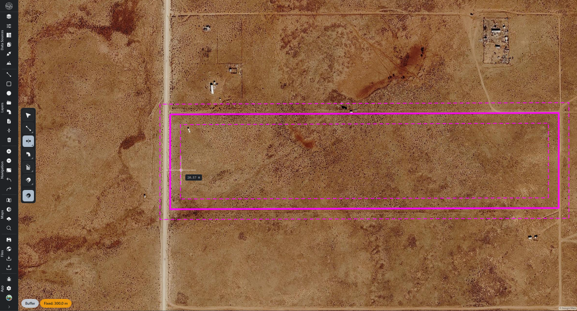
UXBuffer mode no longer stops after one pair. Keep clicking to add more pairs around the same line or shape, as in Multiple mode. Press Escape or right-click to finish.
In Fixed, each click adds the next pair one fixed distance further out, so a 5 m distance gives pairs at 5 m, 10 m, 15 m and so on.
In Through, each new pair passes through the cursor.
Each pair can be undone on its own with Ctrl+Z.
Select4
NewThe Select tool has a new Click mode, and it is now the mode the tool starts in. A left click selects the shape under it and nothing else happens: a click on empty map draws no box and keeps your selection, a drag pans, and a right-click opens the menu.
Marquee, Polygon and Lasso are still a Ctrl tap away and in the Select tool's arrow menu.
Settings → Tools → Select modes lists the four modes. Switch off the ones you do not use, or move them up and down with the arrows. The top mode that is on is the one the Select tool starts in, marked Default, and a Ctrl tap goes through the modes in the same order.
UXGoing back to the Select tool from another tool now always starts in its first mode, which is Click unless you have changed the order. Clicking a shape selects it again straight away, even if the tool was left in Polygon or Lasso selection.
UXIn Polygon mode, clicking a shape now selects it, as in the other modes. Click empty map to start the selection polygon. Once it has begun, every click adds a corner, even on a shape.
FixFinishing a box selection no longer moves the map. The second click used to pull the map by the size of the box, and a slight wobble of the hand during that click nudged it too.
Tool modes1
NewEvery tool with modes has its own list under Settings → Tools: Select, Polyline, Polygon, Offset, Fillet, Trim, Transform and Vertex Edit. Switch off the modes you do not use and move the others up and down with the arrows. The tool's arrow menu shows only the modes that are on, in that order, and a Ctrl tap goes through them in the same order.
Each tool now starts in its top mode, marked Default, every time you pick it. Tools no longer reopen in the mode you used last.
Transform's Shift+M, Shift+H and Shift+J and its right-click Move, Rotate and Scale still work for a mode you have switched off.
Popups1
FixGrade Path works again with the default popup settings. Panels whose work happens on the map, such as Grade Path, Offset, Viewshed, Gravity Pressure and Hydrology, are no longer closed by a click on the map.
They can still be set to Fade until hovered under Settings → Interface → Popups, which moves them out of the way without closing them.
Batch Export1
UXThe queue in Batch Export can now be made wider, so long names can be read in full. Drag the line between the list and the queue to the left.
Settings15
UXEvery folder field now runs the full width of the Settings panel. The folder is typed in a field as wide as every other control, and the button that opens the folder picker sits at the end of the line with the switches. This is on Settings → Export and Settings → Project.
NewSettings → Export is now grouped by what you are exporting: DEM, Maps, Layers, Basemaps, Modifiers, Batch and Google Earth. Each group says where its files go, and the Batch Export folder can be set here too.
NewEach kind of export can now skip its save window. Switch Save window off for a kind and its files are written straight into that kind's folder, replacing a file of the same name; leave it on and the window opens as usual, starting in that folder.
Every switch starts exactly where that kind of export already behaved, so nothing changes until you change it. With no folder set, the window opens whatever the switch says.
FixChanging anything on Settings → Export no longer undoes the output folder chosen in Batch Export or Regrarians Basemaps.
UXWhat the Sync to Google Earth button sends is now set with one field that shows the current choice and steps to the next when pressed, with an arrow at the end of the line to pick from all six at once.
UXOn Settings → System, Connections and Performance, a size and the button beside it no longer split the line in half. The size reads across the line and the button ends it, so Clear all and Refresh no longer sit at different widths.
FixSizes that have not been measured yet now say Measuring instead of trailing off.
UXSearching in Settings now shows every matching setting on the right, ready to change. Each section's matches sit under the section's name, so there is no need to open one section after another to find a setting.
Clicking a section in the list jumps to its matches. Clicking a faded section, or clearing the search, opens that section as usual.
FixSettings search now leaves out everything that does not match. Settings that did not match used to stay on screen beside the ones that did, and matching settings are highlighted again.
FixSettings search no longer matches the start of an unrelated word. Searching "theme" used to find every setting whose description contained "the", and "shortcut" found every "short". "Auto-save" is found whether it is typed with or without its hyphen.
FixReset now puts back everything on its Settings tab, and asks first. Reset on Tools, Layer Templates and Layer Hierarchy used to do nothing, and Reset on Appearance and Project put back only part of the page. The styles, presets and templates you saved are always kept.
FixA Reset or an Import shows straight away. The theme, the glass look, the cursor, snapping, units and the connection cache sizes used to keep their old values until the next start.
FixSettings → Export and Import now carry every setting. A settings file holds all your preferences and the units, and never a project's own content, your saved sign-ins and keys, or what belongs to this computer, such as the window position. Import adds the saved styles, presets and templates in the file to yours and deletes none.
FixThe glass look, the hints, 3D terrain, masks, the Sun Dial, saved Solar Exposure setups and the window position are now kept after a restart. They used to be saved inside the open project instead.
FixThe Units switch on the status bar now reads Metric when the units in use are metric, instead of Custom at every start.
Settings windows3
UINumber fields and sliders are now one control. Drag sideways to change a value, or click to type one. Hold Shift while dragging for finer steps, press Escape to put the value back, or step a focused field with the arrow keys.
It is used in Hydrology, Segmentation, Grade Path, the style windows, every terrain map's settings, every modifier window, the Labels editor and the Regrarians Basemaps watershed export window.
Choices such as a mode now sit on one button that steps through them.
UIThe line, polygon and point style windows have a cleaner, aligned layout, with line style on one button that steps through solid, dashed and dotted, and preset colours in two slim rows beside the colour picker.
UIThe Settings panel has a new, simpler layout. Every tab is one clean list of settings, with each name on the left, each value or switch lined up on the right, and short headings between groups.
The explanation under each setting is gone; point at a setting's name to read it. Search still finds settings by those words.
Numbers use the same control as the map windows: drag sideways, or click to type.
1.1.42026-09-15
New 14 · Performance 2 · UX 3 · Fix 9 · Total 28
Segmentation1
NewA new Segmentation tool detects trees in aerial imagery and outlines each one on the map.
Press Shift+T to open it.
Each detected tree is drawn as a polygon on a Trees layer.
Source chooses the imagery to read: Satellite, a Layer (e.g. Orthophoto), or a Connection.
Area sets the extent to search, and Sharpness the level of detail to read.
Two trained detection models are available, and Confidence sets how certain a detection must be.
Edge Cut mode, on by default, prevents the same tree being detected twice.
Vertex Edit1
NewA new Vertex Edit tool makes it much easier to add and especially to remove vertices.
Press Shift+Z to open it, or find it under the context menu (right-click) of selected objects under Edit Geometry.
With the tool active, select an object (or multiple objects), right-click, then click to place or take out a corner.
The cursor does not have to be on the line or the corner.
Tap Ctrl to switch between Add and Remove modes.
Hydrology7
NewThe Rain tool has been redesigned from scratch. It is now called Hydrology and has four modes: Drop, Paint, Storm and Flood.
Press Shift+R to open it, or use its toolbar button under Analysis.
The Drop mode traces the path a single drop of water takes down the terrain.
The Paint mode rains water wherever the brush is applied.
The new Storm mode simulates a full rain event across the whole terrain.
The new Flood mode simulates flooding in two ways: Level Rise and Source.
NewAll Hydrology modes interact with drawn objects — lines, polygons and points — based on real world physics.
Porosity is the share of a line or polygon that water drains through over time.
It can be set to zero, making the object impermeable.
Layers and objects can be excluded from a simulation using the Exclude row.
NewWater pools where it would naturally collect, then overflows where applicable based on the underlying elevations.
A pool holds its water and keeps rising as more arrives, until it spills over, e.g. via a spillway.
Standing water is drawn as one smooth surface, coloured by depth.
NewRunoff takes real time to gather. Water creeps down a hillslope and accumulates volume and speed relative to slope.
PerfVery large simulations remain smooth, with hundreds of thousands of drops on screen.
PerfThe app stays responsive however much water collects and however long a storm runs.
FixPainting at the very edge of the terrain no longer stops the water.
Contours3
NewA contour map can now have several index rules, each with its own styling.
Under STYLE, set the width, pattern and colour of the Regular lines and each rule.
Every sets which lines a rule picks out, such as every 5th or every 10th.
Index lines now always fall on round-number elevations, such as 50 m and 100 m.
NewA new LABELS section writes each line's elevation along the line.
Set the Decimals, Size, Text colour and Plate look, and which lines are labelled.
UXEach contour set on Regrarians Basemaps now has the same index rules and styling.
Terrain maps6
NewEvery terrain map now has a BLENDING section at the bottom of its settings.
Set Mix to Normal, Multiply, Screen, Overlay or another mode, and set its strength.
The map blends with everything drawn beneath it: the base map, lower maps and images.
FixEvery terrain map is now rendered out at the resolution it is set to.
FixTerrain maps are sharper, both when zoomed in close and on a scaled display.
FixA terrain is no longer processed at a finer resolution than it actually contains.
FixImporting a high-resolution file no longer reduces its detail automatically.
FixThe Polyhedral map now searches the same true ground distance at every latitude.
Settings1
NewA new Maps page under Settings can be used to set the default settings for every DEM map.
Drawing toolbar1
NewRight-click an empty part of the drawing toolbar to bring up a context menu that gives granular control over the way the toolbar looks. For example, you can hide tools that are not needed, change the toolbar style or position, and more.
Drawing tools2
NewSquares and rectangles, on both the Polygon and Polyline tool, now have a new Edge mode.
In that mode they can be drawn from one of their sides, at any angle.
This makes it easy to trace buildings, for example, without having to rotate the shape afterwards.
Turn it on under the shape, or tap Shift while drawing.
UXEach drawing tool now reopens with the shape it was last set to.
Objects1
NewRight-click a line and choose Reverse Direction to swap which end it starts from.
Works on a single line or a multi-line selection.
It also reverses the terrain profile created by the line.
Modifiers2
FixFillet no longer shortens or crosses a shape when every corner is rounded.
FixCommit to a new layer on Fillet now carries every line across, including those a Layout or Offset modifier produced. Geometry no longer disappears when committed.
Navigator1
UXAn item inside a switched-off group can now be shown on its own.
Switch a group's visibility off and its nested contents are set to invisible as well.
Each item's visibility toggle now works independently of the group's, and can be turned back on.
This behaviour can be changed under Settings → Navigator Panel.
Status bar2
NewA new Segment reading shows how far along a line the pointer is.
FixSelecting several objects now shows their 3D statistics' totals in the status bar. Selecting multiple lines, for example, shows their summed 3D length.
1.1.32026-09-12
New 2 · Performance 1 · UX 1 · Fix 5 · Total 9
Selection2
NewThe Select tool now has three modes: Marquee, Polygon and Lasso. Tap Ctrl to switch between them.
In Polygon mode, click corners around the objects, then double-click or press Enter to finish.
In Lasso mode, drag a free-hand shape around the objects.
Hold Space and drag to move the map in any mode.
NewA new Selections page has been added under Settings → Editing.
Lasso and Polygon can select objects they touch, or only objects fully inside.
This can be set separately for points, lines, polygons and circles.
Each selection tool can be limited to certain kinds of object, e.g. points only.
Rain1
UXHold Space and drag to move the map while using the Rain tool, including in 3D.
Tools1
FixSwitching modes with Ctrl now works on the first tap in every tool, including in floating panels and second windows.
Styling2
FixChanging a style setting now always updates the map, including when several layers or shapes are styled at once.
Imported and contour layers now show their line thickness in pixels.
Point markers are drawn at their true size in every marker shape.
Converting, importing, copying and pasting now keep each shape's look.
Dashed polygon outlines are now drawn dashed.
FixPasting with Ctrl+V now works even while another program is using the clipboard.
Stability3
FixWork done just before closing the app is now saved.
FixSettings changes are kept even if a save briefly fails.
PerfThe app puts less strain on the graphics card, especially while making Landforms maps.
1.1.22026-09-09
New 10 · UX 2 · UI 2 · Fix 10 · Total 24
Rain1
NewA new preliminary Rain tool has been added to create visual simulations of runoff across the terrain.
In the future it will be able to create more sophisticated simulations based on local data and it will work with the Earthworks system.
The tool is activated via Shift+R, or its toolbar button, under the Analysis section.
It is supported on imported DEM elevation terrains and on the worldwide 3D terrain. It works in both 2D and 3D.
Shift + the wheel increases the size of the rain brush; Escape clears the rain.
Reset, Clear and Pause control the simulation, and every setting is real-time, e.g. Rain amount, Speed, Culling, Drop size and Colour.
Each rain 'event' or stroke can take its own random colour.
Navigator8
NewA shortcut strip along the bottom of the Navigator. Its icon buttons act on the current selection.
Modifiers, Masks, Style, Convert, Merge, Transfer, Display Order, Zoom to Extents and Delete by default.
Each button acts on what the selection permits and reports what it skips.
For a group, Convert becomes Merge and Style becomes the icon and colour picker.
For a surface, Style becomes Maps and Convert becomes Extract Features.
Settings → Navigator Shortcuts sets which buttons appear, and their order.
NewNew layers and groups can be named as they are created. Settings → Navigator Panel; off by default.
The name opens for editing immediately. Enter or a click confirms it; Escape keeps the automatic name.
NewCtrl+A selects everything in the active context: a field's text, the Navigator's rows, or the map's objects.
NewTransfer moves several selected layers in one dialog. A layer being moved is never offered as its own destination.
UILocked layers carry a padlock, including layers locked by their containing group.
UXRenaming opens with the cursor placed in the box and the name selected.
UXThe A, S and D shortcuts place a new layer where the corresponding button would.
FixThe layer search box clears when the active project changes.
Navigation toolbar1
NewThe navigation toolbar can now be configured from its own right-click context menu, on any button or the space between sections. For example, you can tick individual buttons on or off by section, turn on auto-hide, dividers or icons with labels, and set the button size.
Styling5
NewObject Style applies to lines and points. A shape's own colour and thickness are drawn on the map.
The colour carries into the Attributes table and into exported files.
Switch to Layer Style returns a shape to its layer's appearance.
NewA layer's Style editor can return every shape on it to the layer style.
The offer appears whenever shapes on the layer keep a style of their own, and reports how many.
The layer's sliders leave those shapes untouched, and a single undo restores their own styles.
FixLocked layers do not accept style changes, consistent with every other edit.
FixSlope bands match the width of the line they cover.
FixCommitting modifiers preserves each shape's own style.
Projects3
FixExisting shapes are preserved. Drawing, pasting, duplicating and importing all leave the project's shapes intact.
FixA hidden group stays hidden when its project is reopened. Its contents remain undrawn until the group is shown.
FixHiding a group hides everything inside it: imported pictures, orthophotos, and pipe markers, labels and colour bands.
Create Surface2
UIThe Surfaces tab is now always available on app start, and opens by default beneath the Layers tab.
It can still be dragged back to the top of the tab list.
While empty it offers Create Surface and Import DEM.
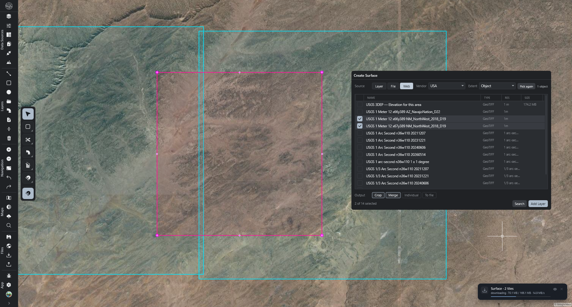
Create Surface opens on the Web source and begins searching immediately, over the selected shapes or layer, otherwise the current map view.
FixPortugal and Sweden have separate User name and Password boxes.
Water Drop1
NewDrops are collected on a single line layer. Holding Ctrl while clicking will create a new layer for each drop.
Each drop still carries its own colour.
Panorama1
NewAny Panorama tab can be pulled out into its own window and placed on a second screen.
Vertex editing1
FixEvery vertex that can be told apart on screen carries a handle. Zooming in reveals the rest.
A vertex added with Ctrl + right-click carries its handle immediately.
A corner can be added anywhere along a line, whatever its vertex count.
Selection1
FixCircles can be selected by dragging a box or lasso across the rim.
1.1.12026-08-27
New 8 · Performance 2 · UX 2 · UI 1 · Fix 7 · Total 20
Create Surface6
NewTwenty more countries join the elevation sources. All free; the country under the map is pre-selected.
United Kingdom: England 1 and 2 m, Wales 1 m, Scotland 25 cm to 1 m, Northern Ireland 10 m.
Germany: 1 m in Bavaria, North Rhine-Westphalia, Hesse, Lower Saxony, Saxony-Anhalt, Mecklenburg-Vorpommern.
Austria: 1 m nationwide; 50 cm in Tyrol and Vorarlberg.
Slovakia: 1 m nationwide.
Netherlands and Luxembourg: 50 cm nationwide. Belgium: 1 m over Flanders and Brussels.
Norway, Estonia, Slovenia, Croatia: 1 m nationwide.
Denmark: 40 cm nationwide. Sweden: 1 m nationwide. Each needs a free account.
Ireland: 25 cm to 2 m along rivers, coasts and roads.
Iceland: 2 m per sheet, 10 m nationwide; includes buildings and glacier surfaces.
Canada: 1 m and 2 m over surveyed areas, 30 m everywhere else.
Mexico: 1.5 m where surveyed, 15 m nationwide. Uruguay: 2.5 m nationwide.
Argentina: 5 m; ground level over surveyed towns and river basins, treetops elsewhere.
Japan: 1 m and 5 m where surveyed, 10 m nationwide.
NewFrance reaches its overseas territories: Réunion, Mayotte, Guadeloupe, Martinique and French Guiana.
UIA column names where each row comes from — Country for the United Kingdom, Territory for France, State for Germany and Austria. Any column header sorts the results.
FixThe World source shows bare ground, with trees and buildings removed.
FixEvery listed elevation source downloads and imports.
FixSlovakia's heights sit at sea level, matching neighbouring countries along the border.
Offline Tiles1
NewBackground imagery can be downloaded for use without an internet connection. Sidebar → Offline tiles.
Choose the Area, the Maps to include, and the Zoom level of detail.
Save to the project, or to Files as a GeoTIFF.
The panel reports the estimated size before the download starts, and the progress during it.
Masks4
NewMasks can be copied, pasted and linked between layers. Layer menu → Mask.
Copy Mask and Paste Mask place the same shapes on another layer.
Link Mask keeps layers in step: editing one updates them all.
A duplicated layer receives an independent copy.
NewOne mask can contain several shapes, drawn one after another.
FixEvery corner placed with a drawing tool registers.
FixThe mask editor stays open while shapes are drawn on the map.
Regrarians Basemaps3
NewWatersheds and Contours export several sets in one run.
Each set carries its own name and writes its own file.
Watersheds: each set has its own Min basin.
Contours: each set has its own Interval, Smooth, Simplify and Denoise, and starts with five sets: 1, 2, 5, 10 and 15.
UXExported file names carry the map's own unit.
FixWatershed basins clipped by a mask draw correctly.
Solar Exposure1
NewEvery configured date exports, one file per date.
Ranges are written for each date as well.
Two dates given the same name still land in separate files.
Grade Path1
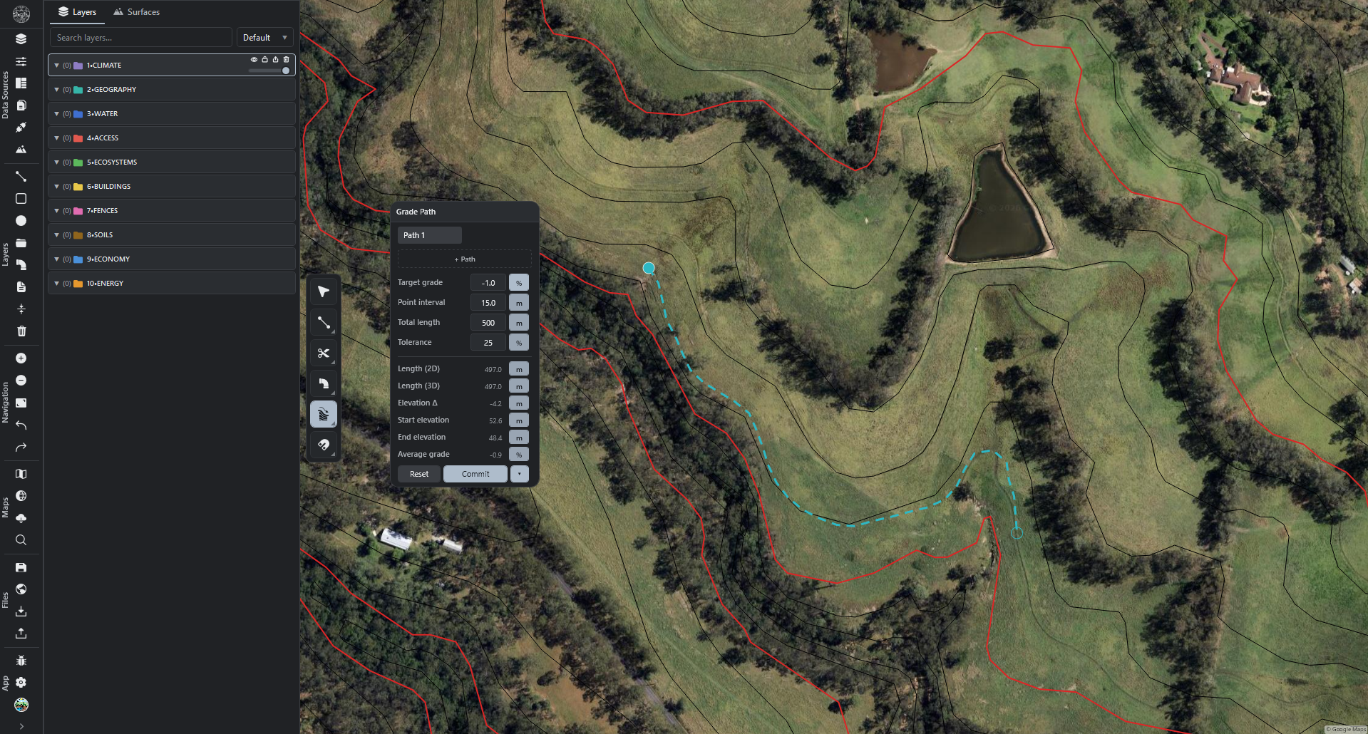
NewEach committed path arrives on its own layer, named after the path. Separate paths no longer share one layer, so each can be coloured, hidden or removed on its own.
3D Terrain1
PerfPanning and orbiting the globe are much faster.
Terrain loads much faster, and ground detail fills in without pauses.
Maps carrying many drawn shapes pan and orbit at full speed.
Objects1
PerfDrawing, moving and deleting shapes stays responsive on layers holding many thousands of lines.
Modifiers1
UXSet and Layout settings stay open while shapes are picked on the map.
Background1
FixThe street map is drawn by OpenStreetMap, with nothing written across it.
1.1.02026-08-22
New 4 · Performance 1 · UX 2 · UI 1 · Fix 13 · Total 21
Connections4
NewThe Czech Republic joins the catalogue: 42 entries, free, no account needed.
Aerial photography, plus six historical years back to 2000.
Topographic map, property boundaries, land registry map, surveyed contours.
Soil types and quality, land cover, land use, hedgerows.
Streams, catchments, floodplains and wetlands.
National parks, Natura 2000, natural vegetation, wind speed, climate regions.
Heritage, archaeology, contaminated land, landslide and radon risk, geology.
Add Connection → Catalogue → Czech Republic.
NewSub-layers list the parts they contain, each with its colour key and its own eye.
A part switched off is saved with the project, and exports match.
FixLines and lettering stay sharp at close zoom, on every connection.
FixConnection lines and edges carry no pale halo.
Create Surface1
NewPoland and the Czech Republic join the elevation sources. Both are free and need no account.
Poland: 1 m detail across the whole country, and 0.5 m where survey blocks reach.
Czech Republic: 2 m detail across the whole country.
Either is pre-selected when the map is centred on that country.
Graphics1
NewChoose which graphics chip the app uses, on a machine that has more than one.
Fastest graphics chip, Power-saving graphics chip, or Let Windows choose.
Fastest graphics chip is the default; a change applies from the next start.